
Start With One Agoura Hills Neighboring Parcel
A block lookup begins with a source map, not a name list. Search the anchor address, save its AIN and situs, then inspect the adjacent parcels. The recorder can trace named parties over time, city files can explain projects, a reverse directory may provide a historical subscriber, and community groups can provide a public contact channel. Each source covers a different layer of the block.
| Source | What it shows about a block | Access |
|---|---|---|
| Assessor map and detail | Adjacent parcels, AINs, situs, physical and tax data | Free; no occupant roster |
| Recorder | Owners and secured parties over time through instruments | Norwalk name/year index |
| City planning and permits | Projects, applicants, professional roles, and status | Request by address or project |
| Voter status | Known registration match when four facts are supplied | Self-verification; no block browse |
| Associations | Public officers, contacts, meetings, and community identity | Public material; private roster limits |
| Reverse directory | Historical listed subscriber by street and number if covered | Library or database; verify title |
The Agoura Hills street directory owns the full named-street chain. The neighbors lookup stays close to the anchor parcel, its surrounding polygons, and the community layer that a street-wide search would flatten.
Anchor an Agoura Hills Block With One Parcel
Use the LA County Assessor Portal to search the exact address or AIN. Save the formatted situs, use code, parcel status, tax-rate area, year built or effective year, land and building measures, values, and map link. The unrestricted Internet result suppresses owner name and owner mailing address. It is therefore an anchor for geography, not proof of who occupies the property.
Keep municipal and postal fields separate. Agoura Hills shares 91301 with nearby local and unincorporated areas, and a mailing label does not settle the city boundary. Confirm the parcel jurisdiction before requesting planning, code, or council records. For older neighbors, preserve the legal description and historical place name too.
One address can be a parcel, a tax situs, a mailing point, a permit location, or a directory entry. Note which meaning is in play before moving to adjacent land.
Map an Agoura Hills Block From Parcels to Owners
Open the Assessor Parcel Viewer, search the anchor address or AIN, zoom until the parcel outlines and street labels are clear, then click each touching or nearby polygon. Record AIN and situs separately for every parcel. A consistent radius can be measured when the viewer offers that tool, but a radius is geometry, not a people result.
Pan and click rather than treating a map label as a household. Available context layers and controls are dynamic. Capture the date and visible layer state when a map matters to the research. The map connects geometry to assessment data, not to a verified roster of Agoura Hills neighbors.
From the anchor address, the process is: address → AIN → selected polygon → adjacent AINs → parcel details → custodian-specific records. That flow keeps the block lookup auditable and gives the recorder or city a precise request target.
- Adjacent parcel
- A mapped land unit touching or near the anchor parcel.
- AIN
- The Assessor Identification Number that ties map geometry to parcel detail.
- Buffer
- A chosen spatial radius around an anchor; it does not create an occupant list.
- Situs
- The physical location attached to a parcel in assessment and permit systems.
Agoura Hills Neighborhood Associations
Research identified a regional hazard-plan inventory of named developments and associations. The inventory is useful as community geography, not as a resident directory. It names Agoura Hills Country Estates, Agoura Country Townhomes, Annandale I and II, Chateau Creek, Chateau Park, Fountainwood, Griffin Parkside, Hillrise Open Space, Indian Hills, Lake Lindero Community, Lake Lindero Country Club, Lake Lindero Townhomes, Lakeview Villas, Liberty Canyon, Liberty Canyon Townhomes, Meadow Ridge Townhomes, Morrison Ranch, Oak Hills, Oak Valley, Oakview Garden, Oakview Ranch, Old Agoura, Peacock Ridge, Rondell Condominiums, Stonecrest, Town and Country, Village of Oak Creek, and Westlake Villas.
| Public association clue | Board or management contact, public meeting, planning issue, or community statement. |
|---|---|
| Lake Lindero | Public HOA material reports 459 members and traces development to the ranch's 1962 sale; membership details remain an association matter. |
| Morrison Ranch | Public management contact exists; agendas, minutes, dues, and architectural material are reserved to members. |
| Old Agoura | Public descriptions emphasize rural and equestrian character and architectural review, not a resident roster. |
| Official check | Use city meeting and planning records plus Secretary of State filings to verify an entity or public role. |
The regional plan does not supply a comprehensive member directory. Verify each association through the relevant public record or its own published contact channel. A named development does not imply access to private membership information.
Lake Lindero and Morrison Ranch Community Layers
Lake Lindero's reported 459-member figure is a useful number about an association, not a count of every person living nearby. Public board or meeting contact can help with a community question, while private membership data remains under the association's own rules. Morrison Ranch similarly has a public management contact but keeps member-facing agendas, minutes, dues, and architectural materials behind its member boundary.
Those differences matter when looking up neighbors. A civic meeting packet may name an applicant or speaker. An HOA document may describe an assessment or project. Neither source should be converted into a list of household identities. Use the organization as a route to the right public issue, not as a shortcut around privacy.
Old Agoura's rural and equestrian character adds another layer. Large parcels, architectural review, and community history can explain why a map-based block looks different from a tract. The source describes place identity, not who currently lives on each parcel.
Why the Voter Tool Cannot List a Block
The LA County voter-status form requires last name, birthdate, residence house number, and ZIP. It verifies a supplied voter; it does not search everyone at an address or in a ZIP. California Elections Code section 2194 limits voter-file use to election, governmental, scholarly, journalistic, and political purposes. Driver-license numbers, identification numbers, Social Security numbers, and signatures are confidential.
A full file request is a controlled process requiring requester and organization details, purpose, jurisdictions, fields, delivery method, and a lawful-use certification. It is not a casual tool for a neighbor search. Protected participants may use substitute addresses through Safe at Home, and a public result may be absent or deliberately limited.
When the question is “who is next door,” parcel geometry can answer which land touches the anchor. It cannot answer which people are present. Keep those questions distinct.
Official Rolls Versus Commercial Neighbor Tools
Official sources have a named custodian, a defined field, and an access rule. Commercial neighbor tools compile broker, directory, and public-record data into a convenient profile. They can be stale, merge namesakes, and hide where a field came from. Use the category only as a lead and return to the original Assessor, recorder, court, city, election, or license custodian for verification.
| Question | Official source | Commercial compilation |
|---|---|---|
| Which land touches the parcel? | Assessor map and AIN | May show a sourced or stale map |
| Who appears in a title instrument? | RR/CC index and recorded document | May repeat an older deed without context |
| Is a known registration matched? | County voter-status form | Not an authoritative substitute |
| What role is public? | Permit, license, entity, or city file | Role and address may be merged |
| How current is the result? | Custodian date or record event | Provenance may be unclear |
The official route takes more steps, but each step says what it proves. That is the standard a responsible Agoura Hills neighbors lookup should follow.
Agoura Hills Permit Applicants Are Not Neighbors
City planning and building files are valuable address evidence. Search or request by exact situs, AIN, tract or lot, permit number, project number, date range, or violation category. Files may include an application, project description, applicant and owner fields, plans, correction letters, approval conditions, inspection milestones, and final status.
Read the role shown on the form. An applicant may be a contractor, architect, manager, representative, or former owner. A project can identify a professional connection without proving that the person lives nearby. Open investigative material, complainant identity, signatures, personal contact details, copyrighted plans, and security information may be withheld or redacted.
Meeting packets can add a public speaker or project representative, and the City Clerk is the records gateway for council actions, agreements, ordinances, campaign filings, and administrative material. Ask for an identifiable record under the California Public Records Act rather than asking the city to research a person.
The Los Angeles County fictitious-business-name search is the source represented in the next image.
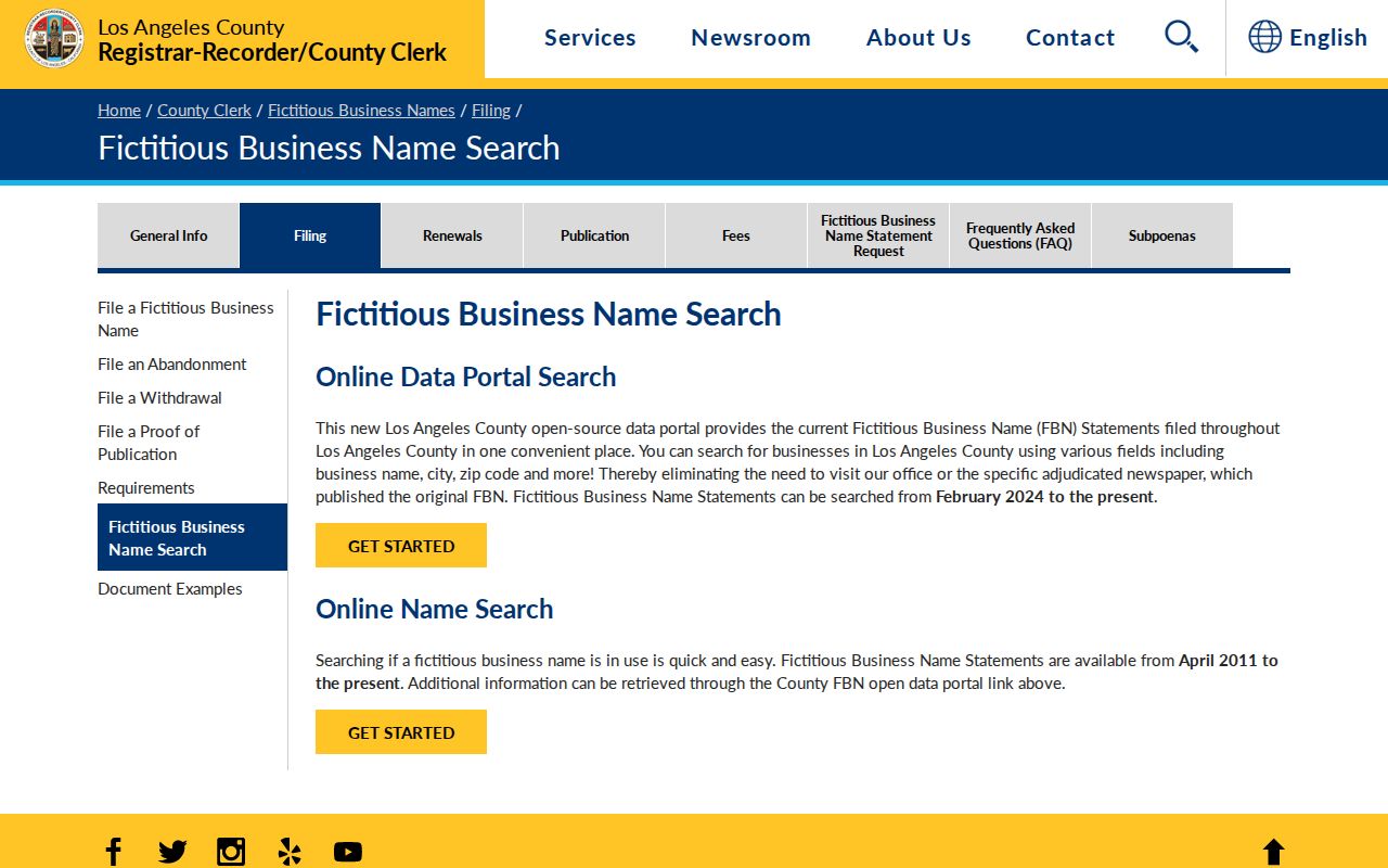
The Los Angeles County fictitious-business-name search can show a registrant and business connection. It belongs in a neighbors lookup as an affiliation clue, never as proof of a nearby home.
Agoura Hills Neighbor Searches and Scam Signals
Public address details can make a scam story sound personal. County warnings describe official-looking deed-copy solicitations, while unclaimed-property and court messages can demand money through false urgency. Verify a record number and office on the custodian's official domain. Do not send cash, gift cards, cryptocurrency, or identity documents because a message claims to know a neighbor's name or parcel.
The FTC fraud reporting service is the official consumer-reporting source shown below.
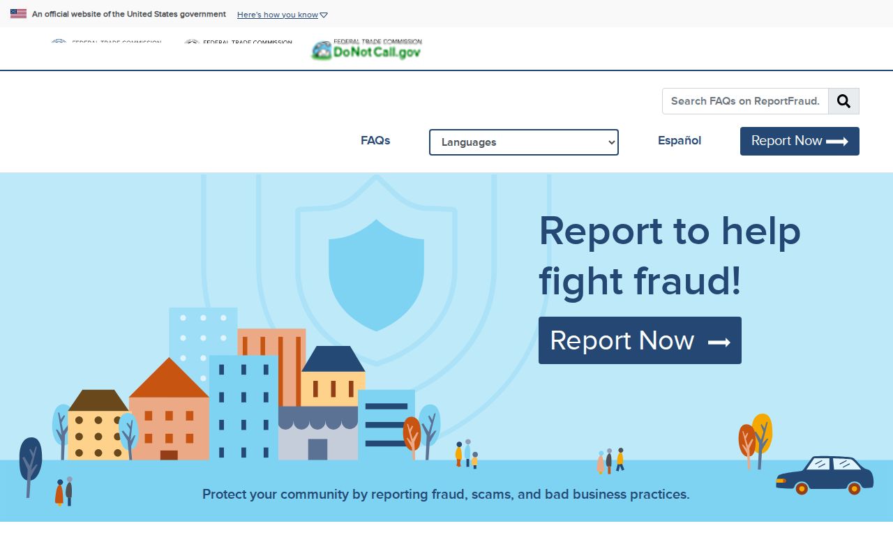
The FTC fraud reporting service is a direct reporting route for a suspected consumer scam. Independent verification should come before any response to a message.
The FBI Internet Crime Complaint Center is the official internet-crime reporting source shown next.
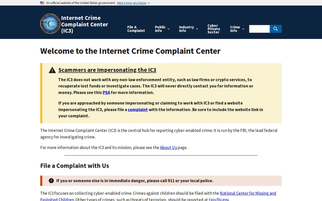
The FBI Internet Crime Complaint Center handles internet-enabled crime reports. A neighbor search should preserve the message, URL, payment request, and date without amplifying the sender's claim.
When an Agoura Hills Neighbor Lookup Stops
A parcel map does not show household members. The voter tool does not browse a block. DMV records are restricted under the Driver's Privacy Protection Act, utility subscriber data may be protected, and Safe at Home participants use substitute addresses. Private HOA, religious, veterans, fraternal, club, and school rosters are not presumptively public. A public officer or association contact is different from a member list.
Use the exact source for the exact question. For current residents by street, move to the full address workflow. For one person's identity, use the Agoura Hills resident lookup and compare dates and roles. For a past household, use the city directory and deed chain. A neighbors search should end when the evidence reaches a protected or private category.
Lawful use. Agoura Hills neighbors information is for personal, lawful research, community awareness, and safety. Never use a block lookup to stalk, harass, threaten, or intimidate anyone.