
Agoura Hills ZIP Coverage at a Glance
The verified working set for an Agoura Hills ZIP code directory is small, but its boundaries require care. 91301 is the principal Agoura Hills postal ZIP and also reaches Agoura and nearby unincorporated or local areas associated with the Agoura postal community. 91376 is a PO-box ZIP associated with Agoura Hills. Research did not establish a stable official citywide boundary table, so every address should be checked individually through USPS and parcel records.
| ZIP | Areas covered | Postal service | Notes |
|---|---|---|---|
| 91301 | Principal Agoura Hills postal area, plus Agoura and nearby local or unincorporated areas | Agoura Hills or Agoura postal facilities; verify address-level route | Postal boundary extends beyond incorporated city |
| 91376 | PO-box service associated with Agoura Hills | PO-box routing; verify current facility through USPS | Not a residential delivery geography |
Do not add 91302 or 91361 to the Agoura Hills postal guide merely because neighboring communities use them. Do not treat 91376 as a mapped neighborhood. The official USPS lookup is address-specific, and the supplied research did not expose a stable citywide ZIP boundary file.
The 91301 Agoura Hills Postal Area
91301 is the main postal label encountered in Agoura Hills civic and library addresses, but the mailing area reaches beyond the incorporated city. A 91301 line can identify a postal community while the parcel lies in unincorporated Los Angeles County or another jurisdiction. That is why a postal search must carry separate fields for postal city, municipal city, county, parcel situs, and school or water district.
Use the ZIP as a first filter for a known address, not as a people search. Once USPS validates the address, run the formatted situs through the Assessor, inspect the parcel map, and decide whether Agoura Hills or the county is the right permit and records custodian. The ZIP narrows the question; it does not answer it.
Note: The Agoura postal label can include places outside Agoura Hills city limits, so postal and civic geography must be checked apart.
91376 Is a PO-Box Routing ZIP
91376 is associated with Agoura Hills as a PO-box ZIP. A PO-box route tells the mail system where a box is served; it does not draw a neighborhood, identify a parcel, or show where a person lives. A name paired with 91376 may have a business, box, or correspondence connection rather than a residential situs.
When a record supplies 91376, ask for a deliverable street address only through a lawful custodian and do not infer one from the ZIP. Verify the address through USPS, then compare the city and parcel fields. If no physical address exists, keep the result in the postal category and do not force it into the Agoura Hills street directory or a block map.
- Postal ZIP
- A routing code used to direct mail; it may cover more than one local government.
- PO-box ZIP
- A code used for box service rather than a mapped residential delivery area.
- Municipal boundary
- The legal city line used to determine city records, permits, and local authority.
- Situs
- The physical parcel location recorded by assessment and related land systems.
Why Agoura Hills ZIP and City Lines Diverge
ZIP codes route mail, while city limits determine municipal jurisdiction. Agoura Hills sits at the western edge of Los Angeles County near Ventura County and shares the 91301 postal community with places outside the incorporated city. A mailing address can therefore be a poor shortcut for deciding whether Agoura Hills City Hall, Los Angeles County, or another agency holds the requested record.
Check the parcel map and Assessor situs for land geography. Check the official city entry point for municipal planning, permit, meeting, and records channels. Check the county when the parcel or project is outside city jurisdiction. This split matters for an Agoura Hills postal guide because a ZIP match can point to the wrong custodian if it is treated as a boundary.
Which Agoura Hills Portals Accept ZIP
Local portals accept ZIP in different ways. The voter status tool uses ZIP as one of four required identity and address factors. It cannot list all voters in a ZIP. The Assessor searches by full address or AIN rather than publishing a ZIP-wide owner directory. The GIS viewer shows parcel geometry, not postal boundaries. USPS validates one deliverable address. Each field has a narrower meaning than the phrase postal guide suggests.
| Voter Last Name | Required alphabetic text; ZIP is not a stand-alone filter. |
|---|---|
| Birthdate | Required mm/dd/yyyy identity factor. |
| House Number | Required residence-address factor. |
| ZIP Code | Required numeric address factor; it verifies a supplied voter rather than opening a ZIP roster. |
| Assessor search | Uses full address or ten-digit AIN; parcel detail and map are the output. |
The LA County voter status form is the clearest example of a ZIP field that does not create a directory. A nonmatch can reflect an input problem, relocation, or record maintenance. Keep a ZIP search within the legal purpose of the source.
Use USPS for One Deliverable Address
The USPS address and ZIP lookup is the right tool for validating one street address, city, state, and ZIP combination. It is not a resident database and it does not decide a city limit. If USPS returns a postal label that differs from the municipal assumption, carry both values forward until the Assessor parcel and jurisdiction are checked.
A careful postal workflow preserves the exact USPS result, the date checked, and the input spelling. Then search the formatted address in the Assessor Portal, open the parcel map, and use the AIN in any city or county request. Do not use a PO-box result to create a street record.
Address normalization also helps historical work. A current ZIP can guide a modern search, but a pre-1982 record may use Agoura, Picture City, Vejar Junction, ranch language, or a county heading. The modern postal label should never be projected backward without a map or legal-description bridge.
Finding Agoura Hills Residents by ZIP Code
Once a ZIP narrows the address, move from postal evidence to land evidence. Search the LA County Assessor Portal by full address or AIN. Save the situs, AIN, use, values, year built or effective year, land and building measures, tax geography, and map link. The public parcel display suppresses owner name and owner mailing address, so a ZIP match cannot be treated as owner proof.
- Validate the deliverable street address and ZIP with the USPS address lookup.
- Run the formatted address through the Assessor Portal and save the AIN and situs.
- Open the parcel map to confirm the land and municipal context.
- Move to the street, deed, permit, or resident-record custodian that matches the next question.
Open the Assessor Parcel Viewer to check adjoining polygons and street labels. A parcel map can reveal that two addresses share a postal ZIP but sit in different tracts or jurisdictions. For title, use the recorder's name-and-year index at Norwalk. For permits, ask Agoura Hills or the county by exact situs, AIN, tract, lot, or project number.
The next step after ZIP narrowing is the Agoura Hills street directory, where address records are kept distinct from the postal layer. The ZIP code directory should stop once the address has been normalized and the correct record custodian is clear.
Agoura Hills Registration Geography Without a Roster
LA County publishes dated registration reports that can describe city or county totals and party distribution without exposing individuals. Those reports are useful for civic geography, but they do not turn the ZIP code directory into a name list. A full voter-file request requires a requester identity, organization or contact, purpose, jurisdictions, fields, delivery method, and lawful-use certification under California rules.
The LA County registration report page is the official statistical route represented below.
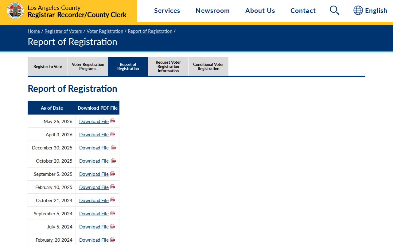
The county registration report page shows the statistical alternative to an individual ZIP search. It supplies context without exposing a block or household list.
The California Secretary of State voter-file request guidance explains the controlled extract shown next.
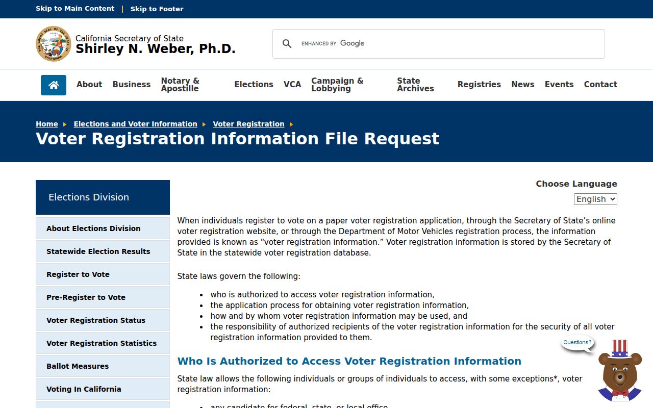
The California voter-file request guidance shows why the full file is a controlled extract rather than a casual ZIP download. Purpose and field limits stay part of the search.
Pre-1982 Records Need Older Geography
Agoura Hills became a city in 1982, so earlier records use Los Angeles County or unincorporated geography. Searchers should use the historical names Agoura, Agoure, Picture City, and Vejar Junction, plus nearby communities when the family or address supports them. A ZIP code did not create the earlier municipal layer, and a modern postal label cannot prove that an old deed or census entry belonged to the present city.
For an older household, pair the directory or census heading with a deed legal description, ranch name, tract map, newspaper, local photograph, or county history. Keep the date and place heading beside the modern ZIP only as a cross-reference. This is how the ZIP code directory remains useful without rewriting the past.
ZIP Searches and Address Privacy
A ZIP is not an invitation to build a resident list. Safe at Home provides substitute addresses and mail forwarding for qualifying participants. The voter file is restricted by Elections Code section 2194. The Assessor public display suppresses owner identity, and the recorder keeps the real-estate name index off the Internet. These are designed limits, not missing features in a ZIP code directory.
The California Safe at Home program is the official address-confidentiality source shown below.
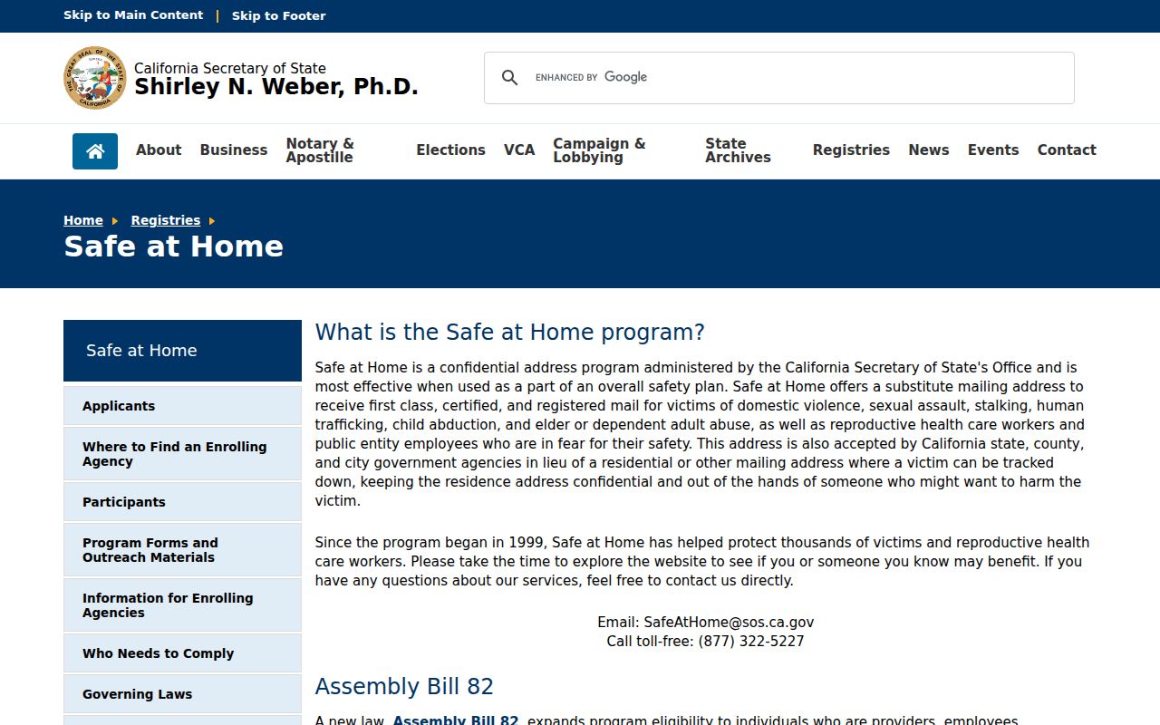
The Safe at Home program information explains why a substitute address should not be reversed through other indexes. Keep a postal result at the level it actually proves.
The California county and state registrar guidance is the source represented in the final image.
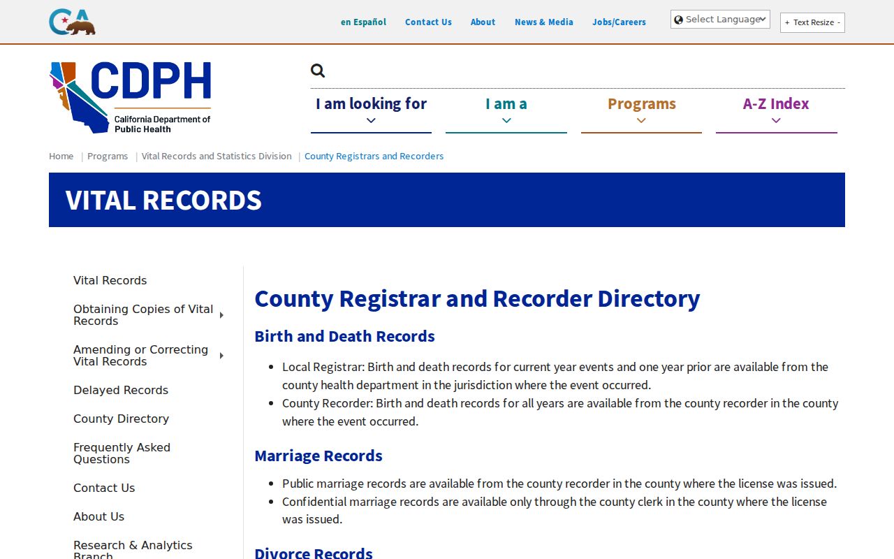
The county and state registrar guidance is another reminder that the right custodian depends on the record, not just the ZIP.
Lawful use. An Agoura Hills ZIP code directory supports address validation and civic or family-history research. Do not use postal or parcel information to stalk, harass, threaten, or harm anyone.